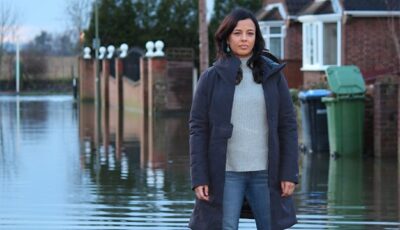
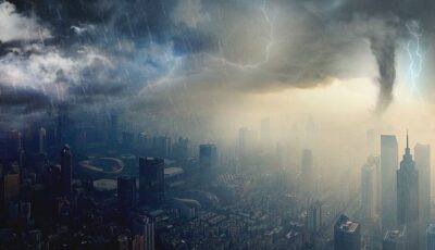
Tracking flooding with satellite images | Bang Goes the Theory
Satellite cameras are used to track flooding and predict future weather.
TweetClip Info
- Clip length: 3'44''
- Broadcast year: 2014
Curriculum Connection
- Geography | Natural hazards | Rivers and flooding | Flooding
Access
Licence: ERA Licence required
Usage
UK only
Staff and students of licensed education establishments only
Cannot be adapted
Content
- Provider: BBC
- Channel: BBC One
- Programme: Bang Goes the Theory
- Series: 8
- Episode: Flooding
Similar broadcast resources

S8E6: Flooding | Bang Goes the Theory
Did global warming play a part in the recent floods, or is it the extreme end of the natural cycle? Maggie Philbin investigates the threat of storm surge.

Wild Weather: Our World Under Threat | Panorama
Justin Rowlatt reveals where in the world the climate is changing the fastest and who will be most affected.
